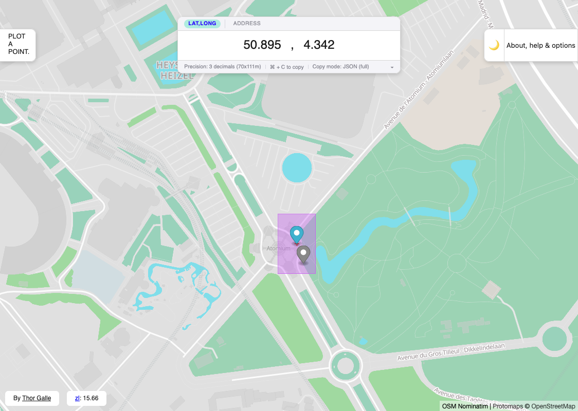
I started making this tool for WTMG when I needed to produce the GPS coordinates for a location, without disclosing the exact location: I wanted to provide street- or town-level accuracy, but not house level accuracy.
The most straightforward way to do this was to remove decimals from the longitude/latitude coordinates; but how many to remove? What area is plausibly “covered” by a coordinate at which decimal long/lat precision? I.e. which range of coordinates will round down or up to the same coordinate?
Because longitude angles don’t map simply to distances without some latitude-dependent geometry, the answer is not a static number of decimals. And I wanted something to tune the “area” interactively for each point considered.
This is a tool that does this. It was built manually using SvelteKit with adapter-static.
I later added more features, which were only tangentially related to this problem, but which have been useful to me:
- OSM nominatim-based geolocation (to find locations)
- A permanent Mapbox/Maplibre GL JS fractional zoom level indication, which has been useful to tweak zoom-based expressions for other map tasks mostly.
In July 2026 I let Opus hammer on a TODO list for this tool written in 2024, which fixed some bugs, migrated it to Svelte 5, and added:
- A dark mode
- Clearer coordinate & address lookup mode separation
- Support for copying/extracting coordinates in various formats, and parsing pasted coordinates too.
- More shortcuts, and better shortcut interception
- A status bar with decimal precision information